
Map of Rome By Antonio Tempesta Revised and expanded by G.G. De Rossi in 1693
Map of Rome By Antonio Tempesta Revised and expanded by G.G. De Rossi in 1693
PIANTA DI ROMA
DI ANTONIO TEMPESTA 1693
(MAP OF ROME BY ANTONIO TEMPESTA 1693)
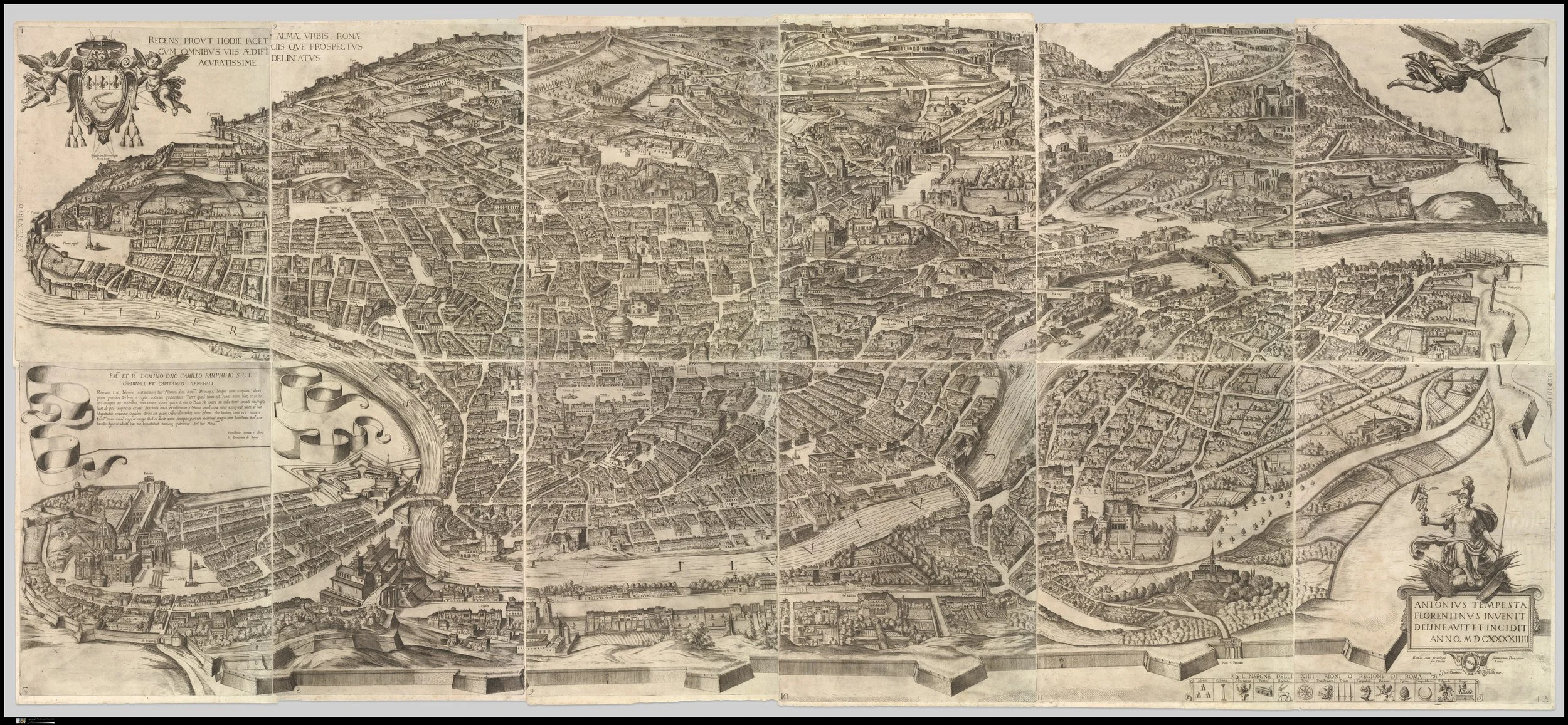
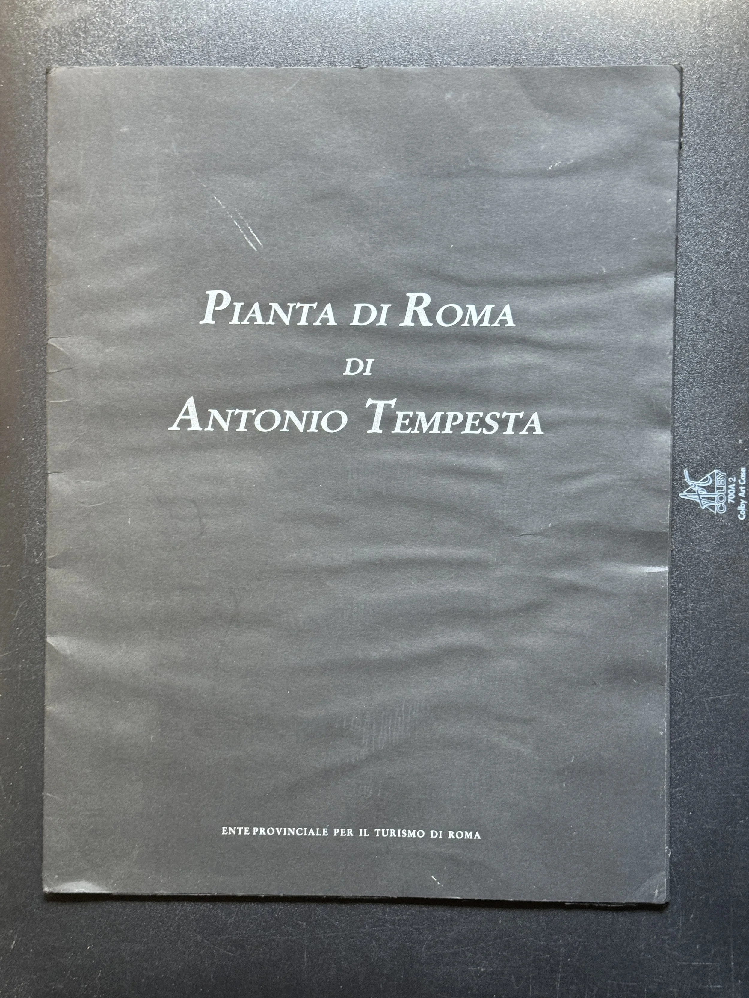
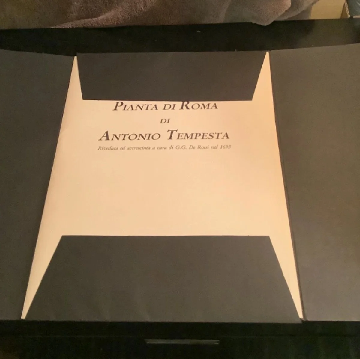
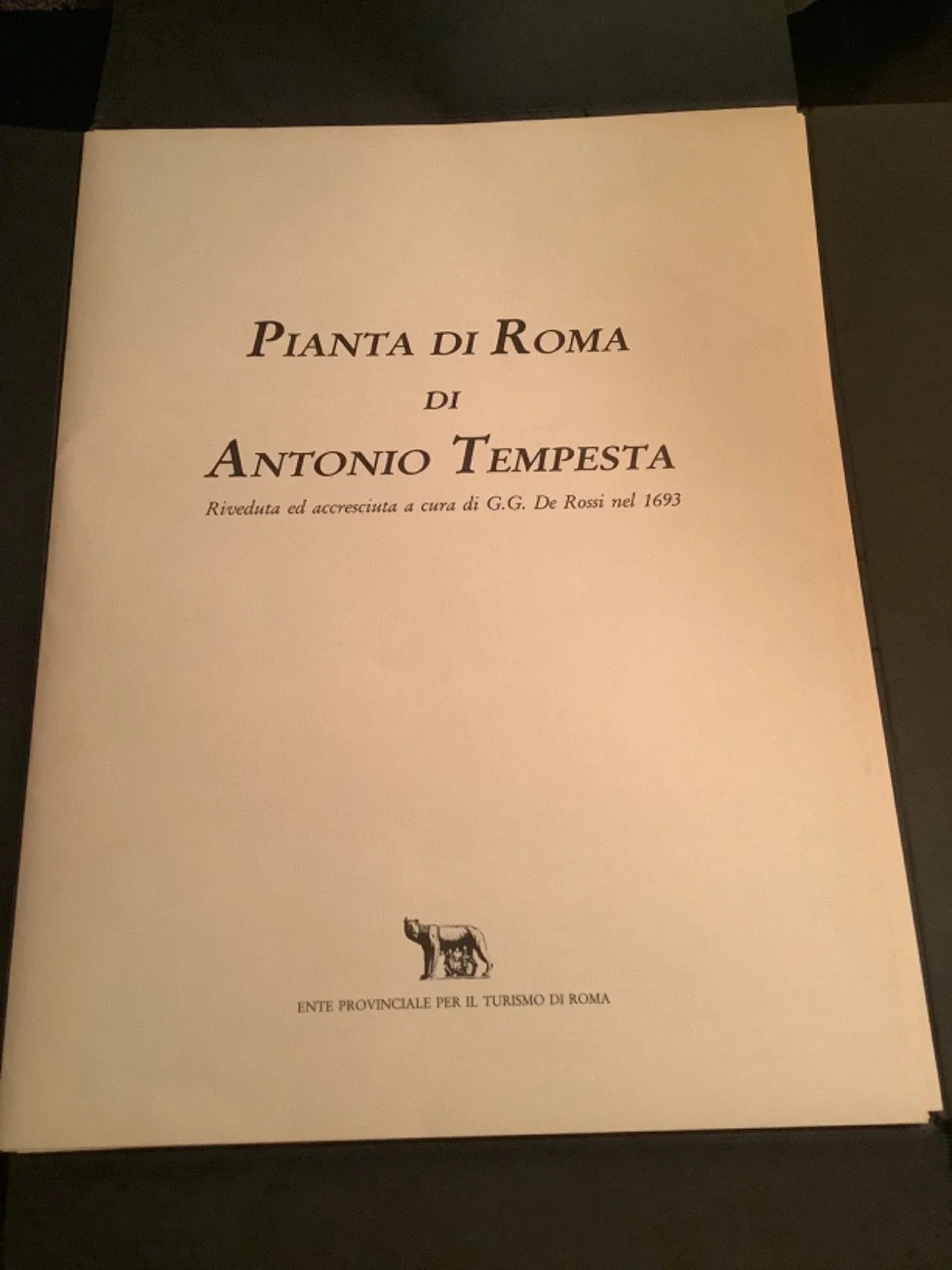
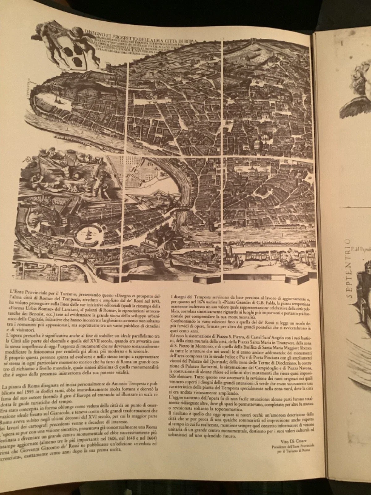
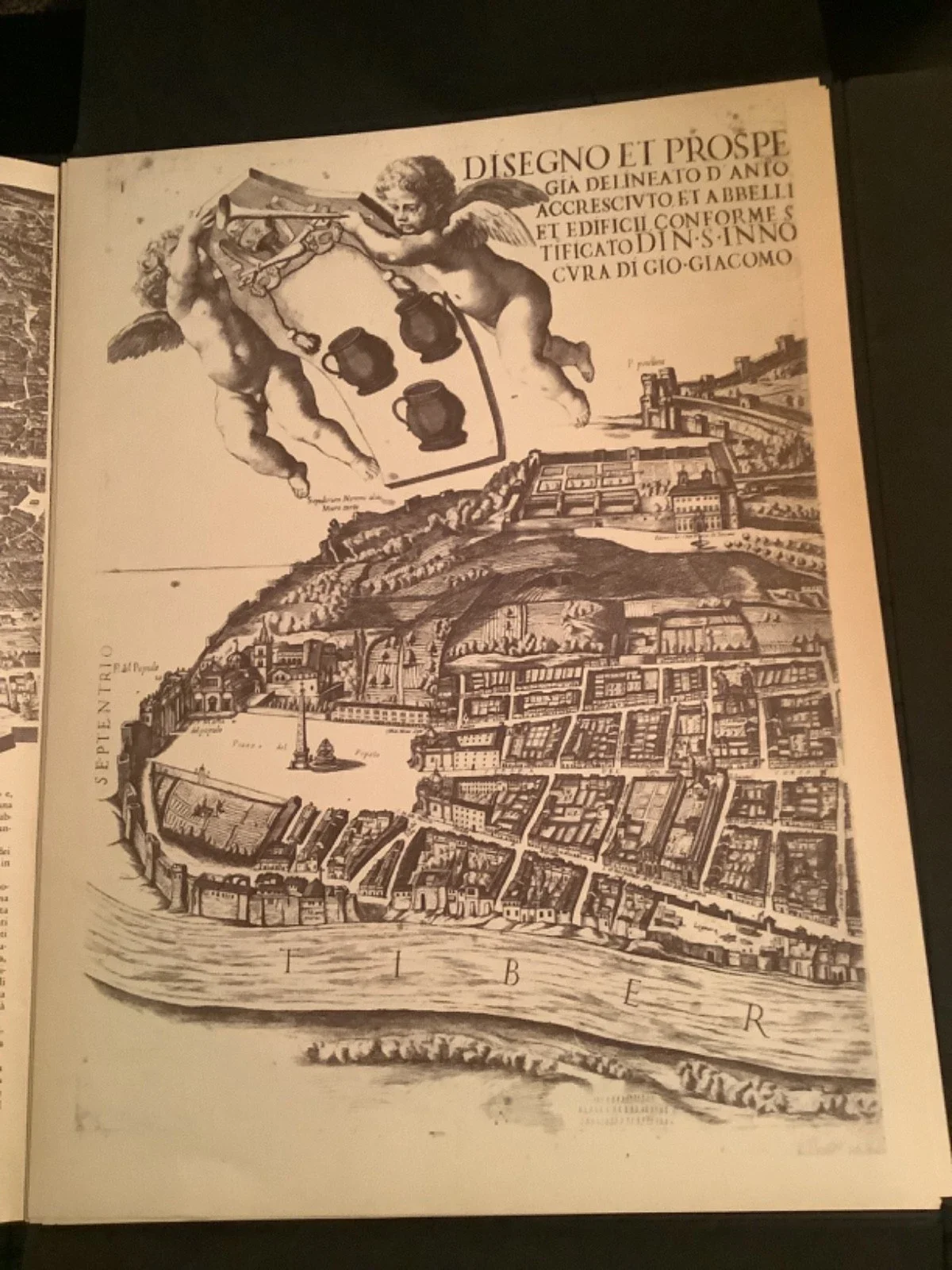
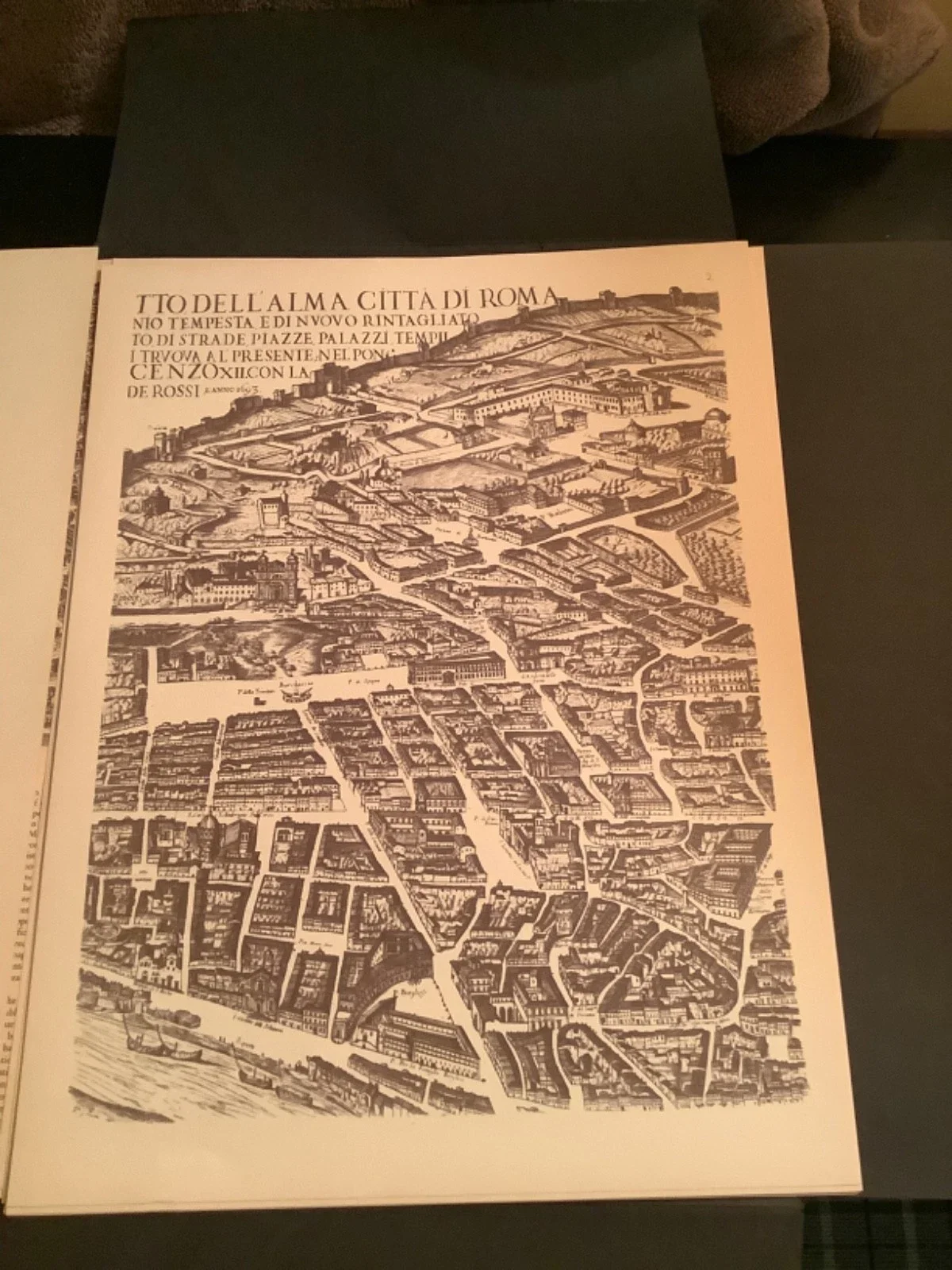
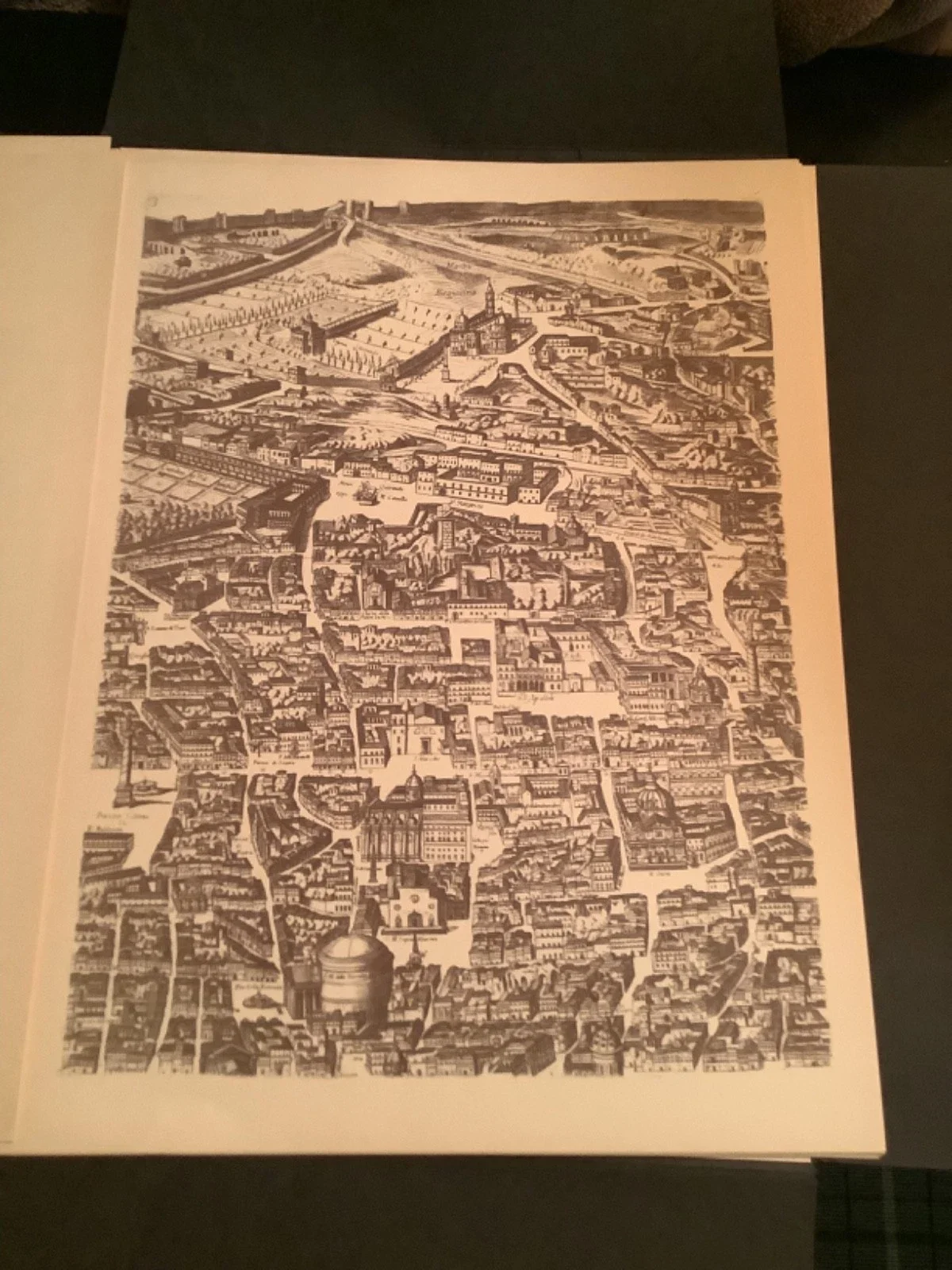
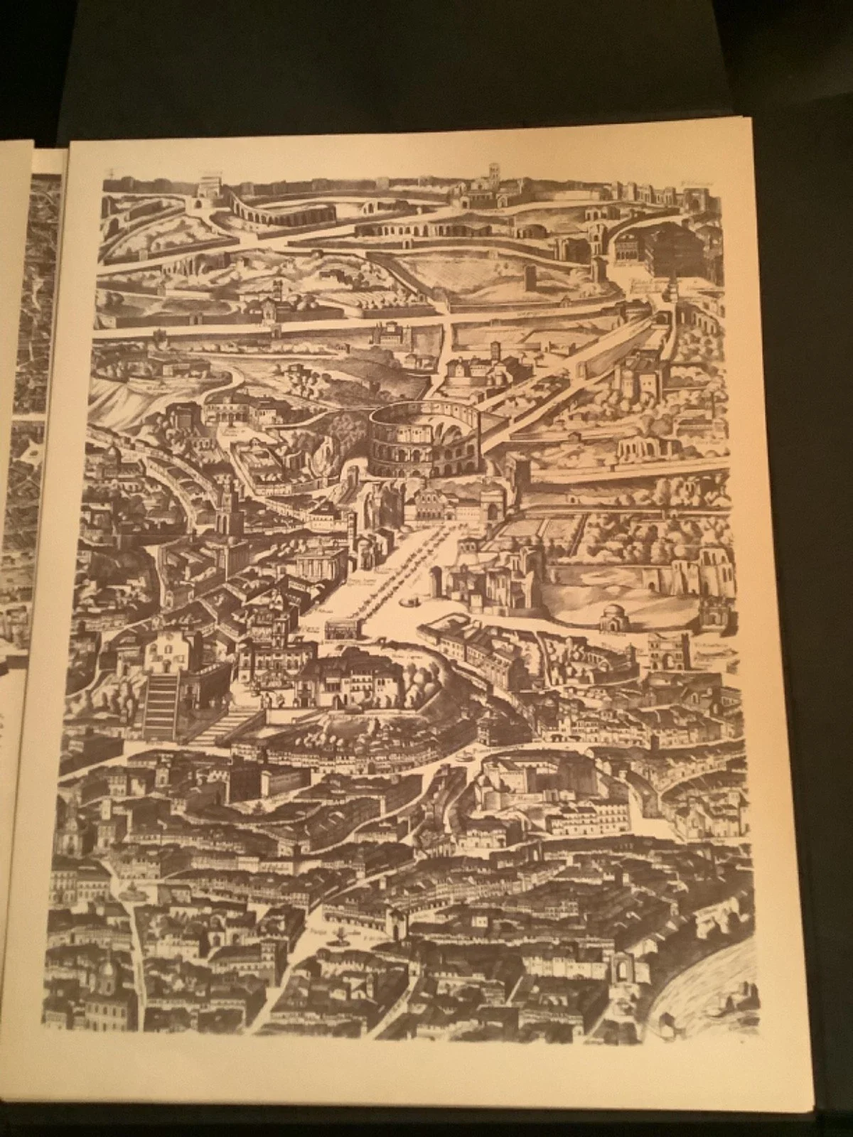
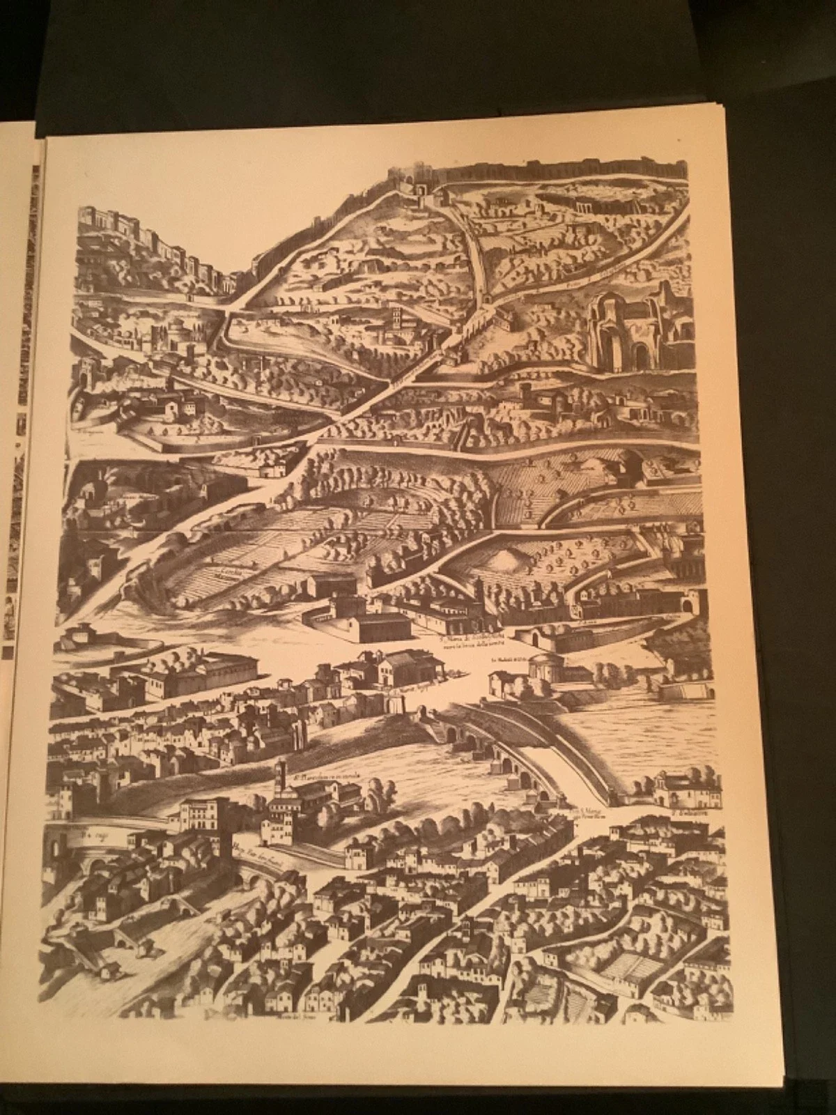
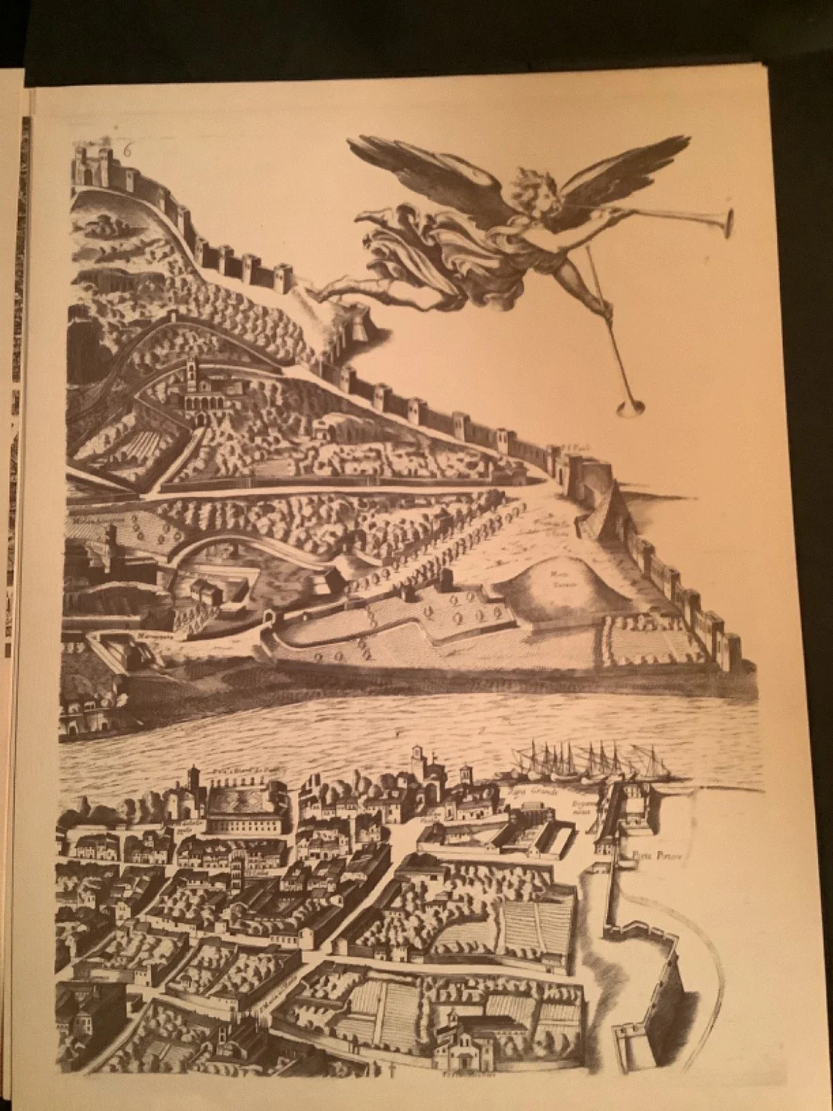
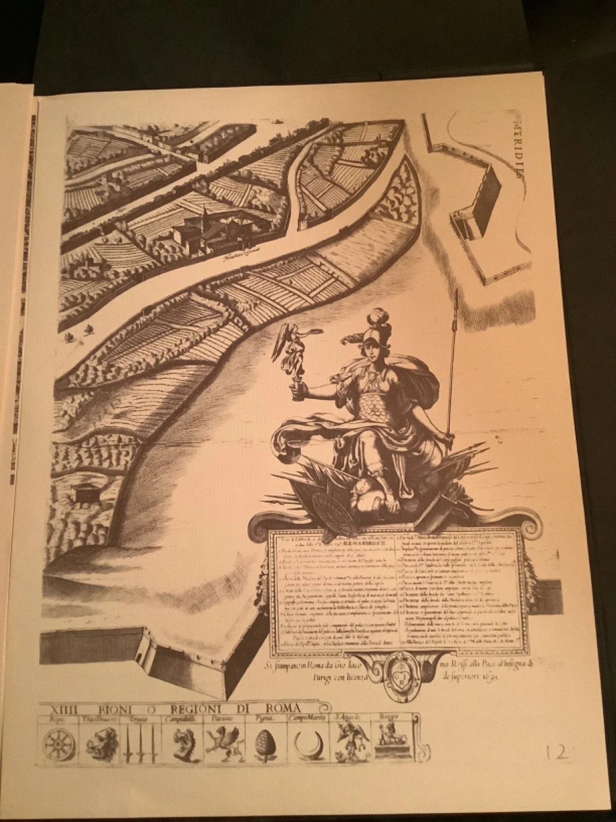
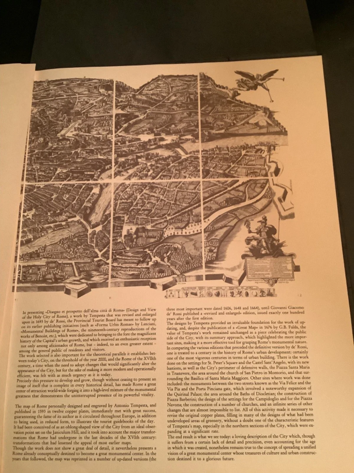
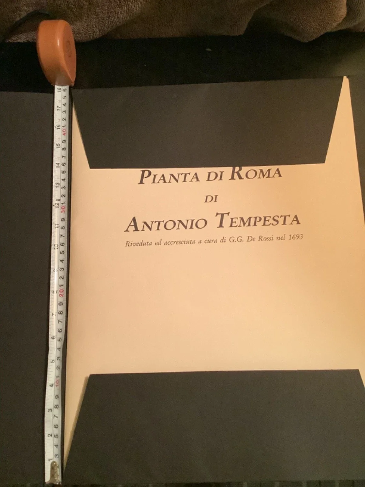
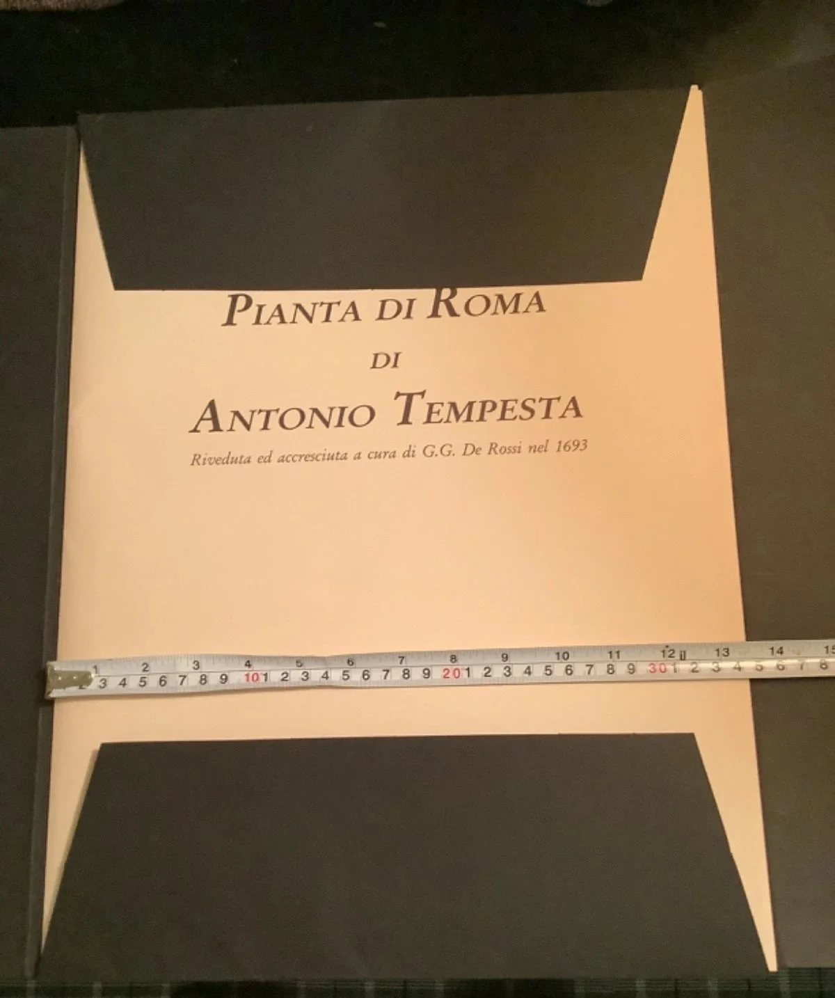
This is a superb and very rare 1990/1991 facsimile edition of the famous Baroque 12 plate/sheet map of the old city of Rome by Tempesta, and expanded by Rossi. Published by the ENTE PROVINCIALE PER IL TURISMO DI ROMA (PROVINCIAL TOURISM BOARD OF ROME) brown sepia style prints in a black folio cover. These (46 cm x 34.5 cm, 18" x 13,6") prints would look absolutely amazing framed and hung together. (first image is from the MMA website and gives you an idea of the complete layout)
The map of Rome created by Antonio Tempesta, and revised and expanded by G.G. De Rossi in 1693, is a historical map that provides a detailed depiction of the city of Rome, showcasing the streets, landmarks, and geographical features of the city. It serves as a valuable resource for those interested in the history and topography of Rome, offering a unique perspective on the city's layout and development over the centuries.
Dimensions: (46 cm x 34.5 cm, 18" x 13,6") almost 0.5 kg.
About: Map of Rome By Antonio Tempesta Revised and expanded by G.G. De Rossi in 1693
Plan of the City of Rome
Antonio Tempesta, Italian
Publisher: Giovanni Domenico de Rossi Italian
Dedicatee Cardinal Camillo Pamphili Italian 1645
Plan or aerial view of the city of Rome, taken from the north-west. The map shows Rome in its late sixteenth-century condition. The map was first printed in 1593. This edition with changes dates to 1645.
Tempesta's Map (1693): In 1593 Antonio Tempesta published a monumental and highly detailed map of Rome in twelve plates. That map was subsequently revised, updated and expanded by the editor Giovanni Giacomo De Rossi in 1693 .
The EPT publication: Between 1990 and 1991 , the Provincial Tourist Board of Rome sponsored and supervised the publication of a prestigious facsimile reprint of this rare 1693 version.
The work was marketed in a large folio folder or editorial case containing the synoptic view of the plan divided into its 12 original plates , a piece today highly sought after by collectors, art historians and cartographers.